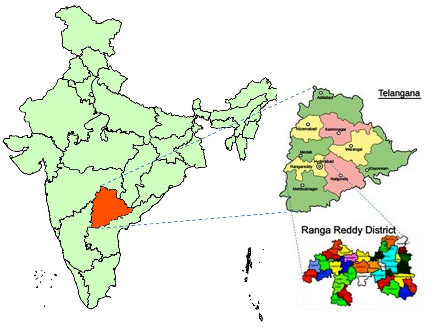


Ranga Reddy district was formed on 15 August 1978 by carving out some portions of Hyderabad urban Taluk and the merger of the entire rural and urban areas of the remaining Taluks of erstwhile Hyderabad district. Ranga Reddy district is primarily the rural hinterland for twin cities of Hyderabad and Secundrabad feeding the powerful commercial centre with various raw materials, agriculture produce and finished products.
Name of the district was Hyderabad (Rural) to begin with. It was changed to ‘K.V. Ranga Reddy’, and later to ‘Ranga Reddy’ district, the former Deputy Chief Minister of Andhra Pradesh.
The District is located in the central part of the Deccan Plateau and lies between 160 30` and 180 20` of North Latitude and 770 30` and 790 30` of East Longitudes.
The district is bounded on the North by Medak District, East by Nalgonda District, South by Mahaboobnagar District, west by Gulbarga District and north west of Bidar District of Karnataka State. It covers an area of 7564.88 sq. kms
The district can be divided into three broad basins. A major part (65%) of the district is covered by Musi river basin (Osman sagar and Himayat sagar for drinking purpose). The next largest basin is the Kagna basin, a tributary to Bhima River. There is a good potential in this basin, which can irrigate large areas. The third basin is the Manjeera, which is part of the Godavari basin where the area under irrigation is limited. Ranga Reddy district comprises of plains, but is mostly crisscross with rivers, seasonal rivulets and small streams. Ananthagiri hill range spreads across the district from Mahaboobnagar district in the South to Dharur mandal in Vikarabad revenue division in the North.